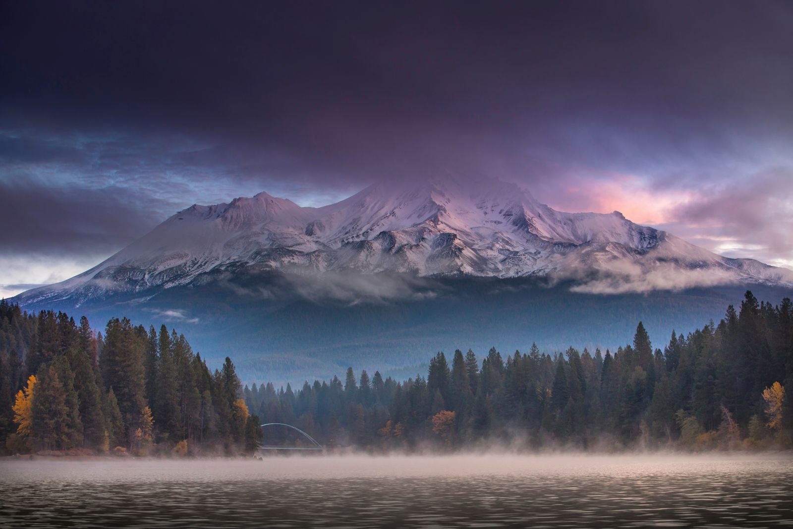
Shasta Cascade · Northeast California
The corner of California most people drive straight through
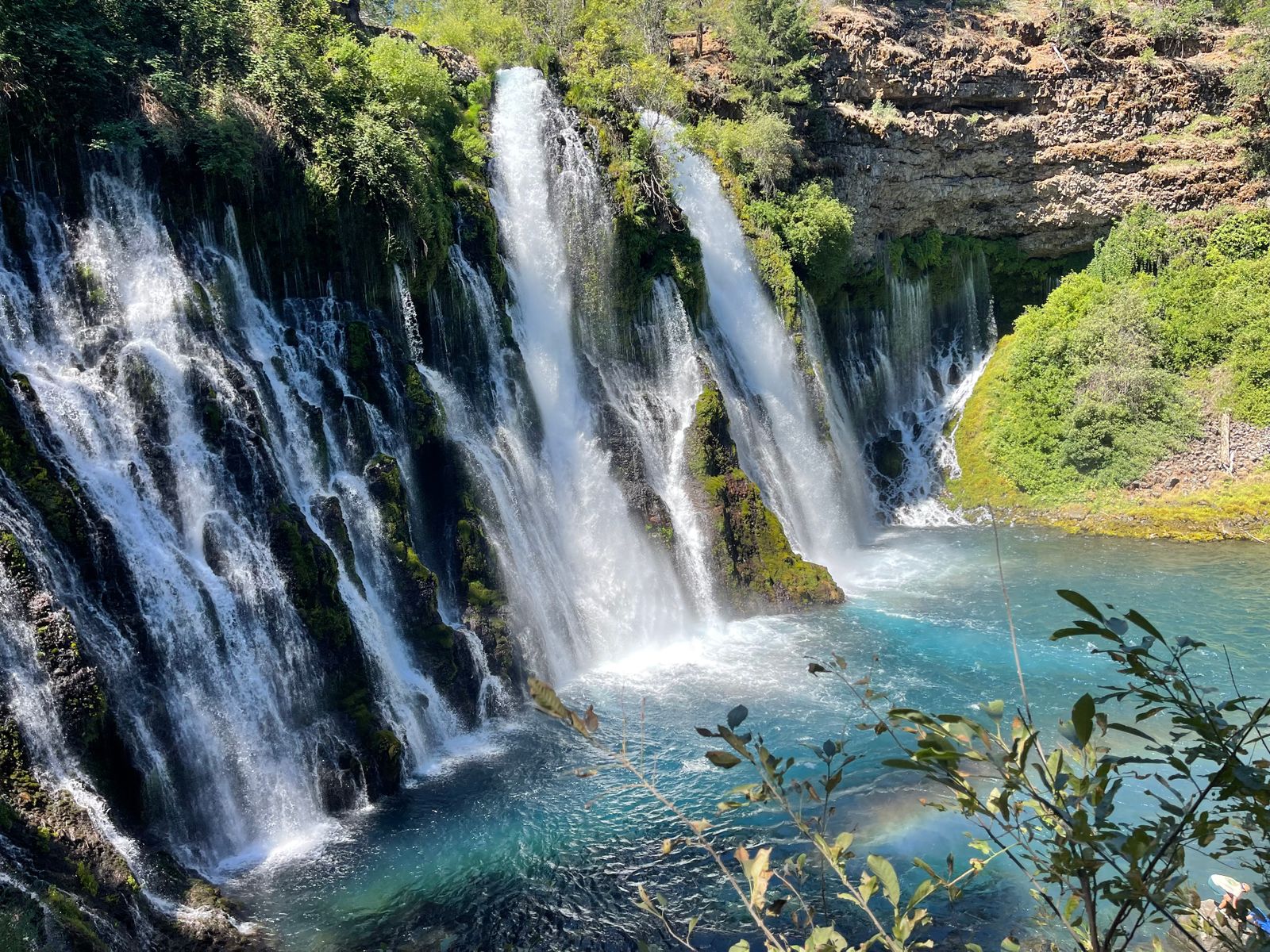
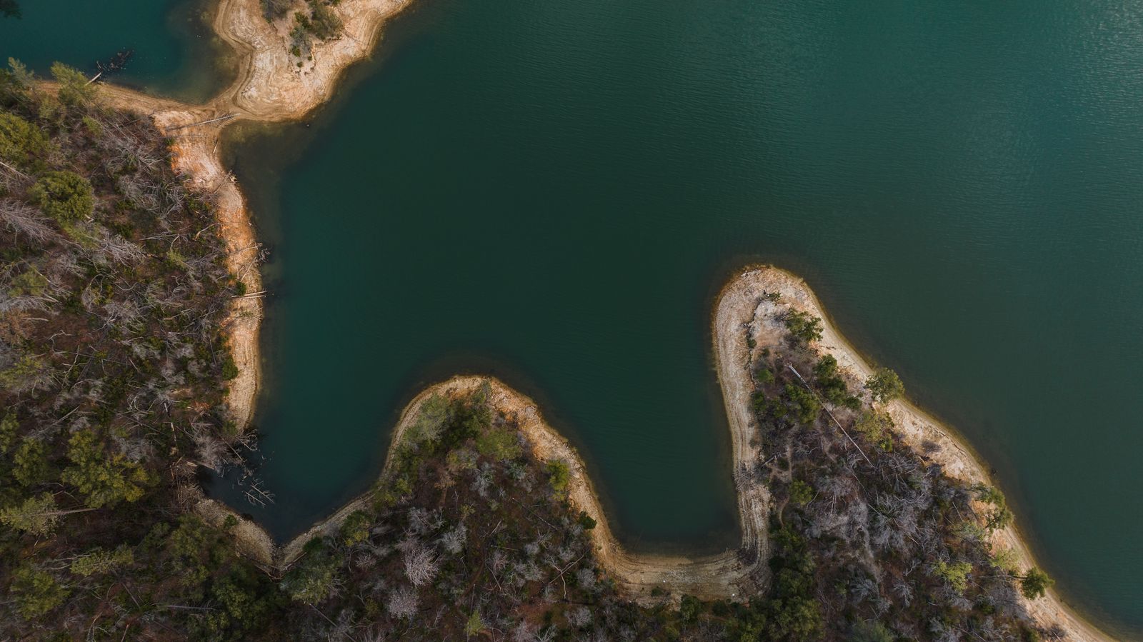
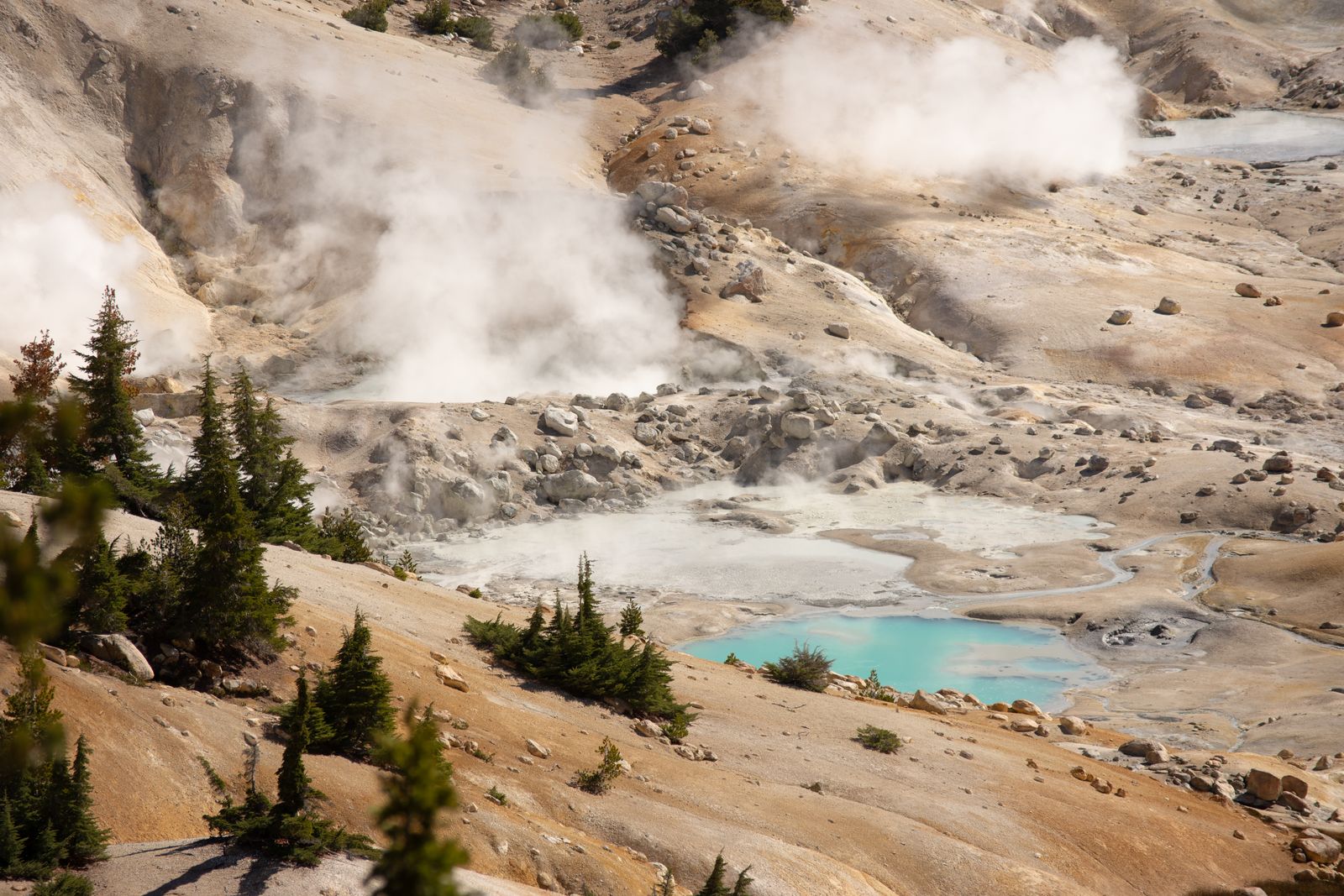
Two active volcanoes, the largest reservoir in the state, a waterfall Theodore Roosevelt is said to have called the eighth wonder of the world, and about a hundred towns. Some hold twenty thousand people. Some hold forty. This guide covers all of them.
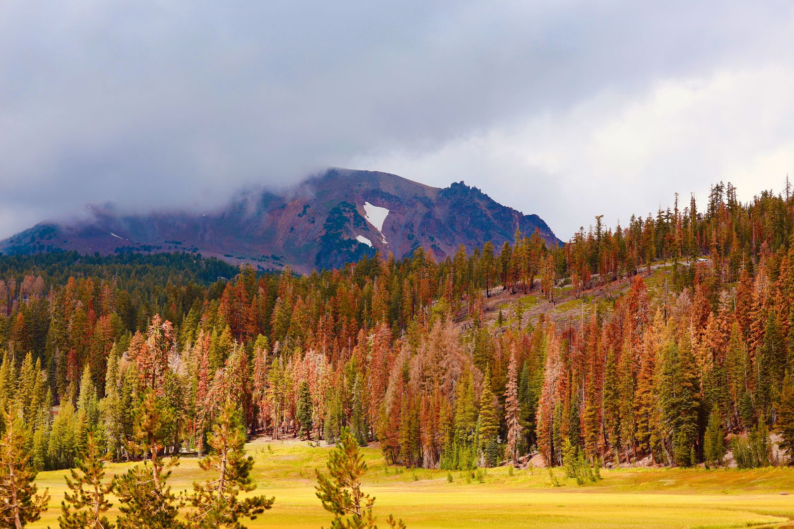
Start with a county
The region divides along county lines, and so does the driving. Siskiyou is volcano country, Plumas is lakes and pine, Modoc is high desert with almost nobody in it.
Towns worth planning around
Most visitors base themselves in one of these. Populations are current Wikidata figures, and where a town turns out far smaller than its reputation, that is usually the interesting part.
Everything, on one map
How this guide handles facts
Coordinates, county assignments and population figures come from Wikidata and are shown as they stand there. 104 of the 110 towns have coordinates that fall inside the region; 12 have no county on record, and those pages say so rather than guessing. Two entries turned out to be different places with the same name and were pulled out entirely.
Opening hours, road closures and fire restrictions change fast up here. Where that matters we point at whoever actually knows, a ranger district or a county road department, instead of repeating a figure that may be two summers old.